In modern agriculture, achieving optimal water management hinges on an accurate understanding of your land. RTK topography mapping for agricultural drainage provides this precise insight, allowing farmers to make informed decisions about their fields. Richland Micro Drainage leverages cutting-edge RTK topography for drainage to offer superior solutions for field leveling and highly effective micro drainage systems.
Field Topography Mapping: The Essential First Step
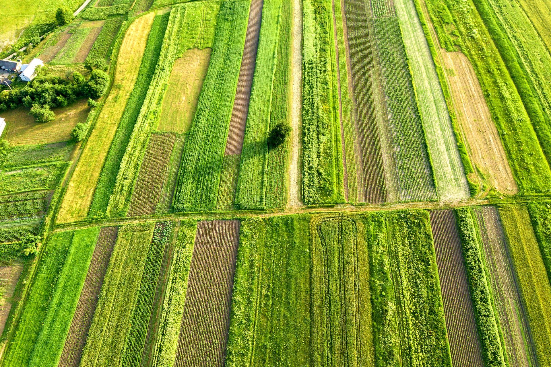
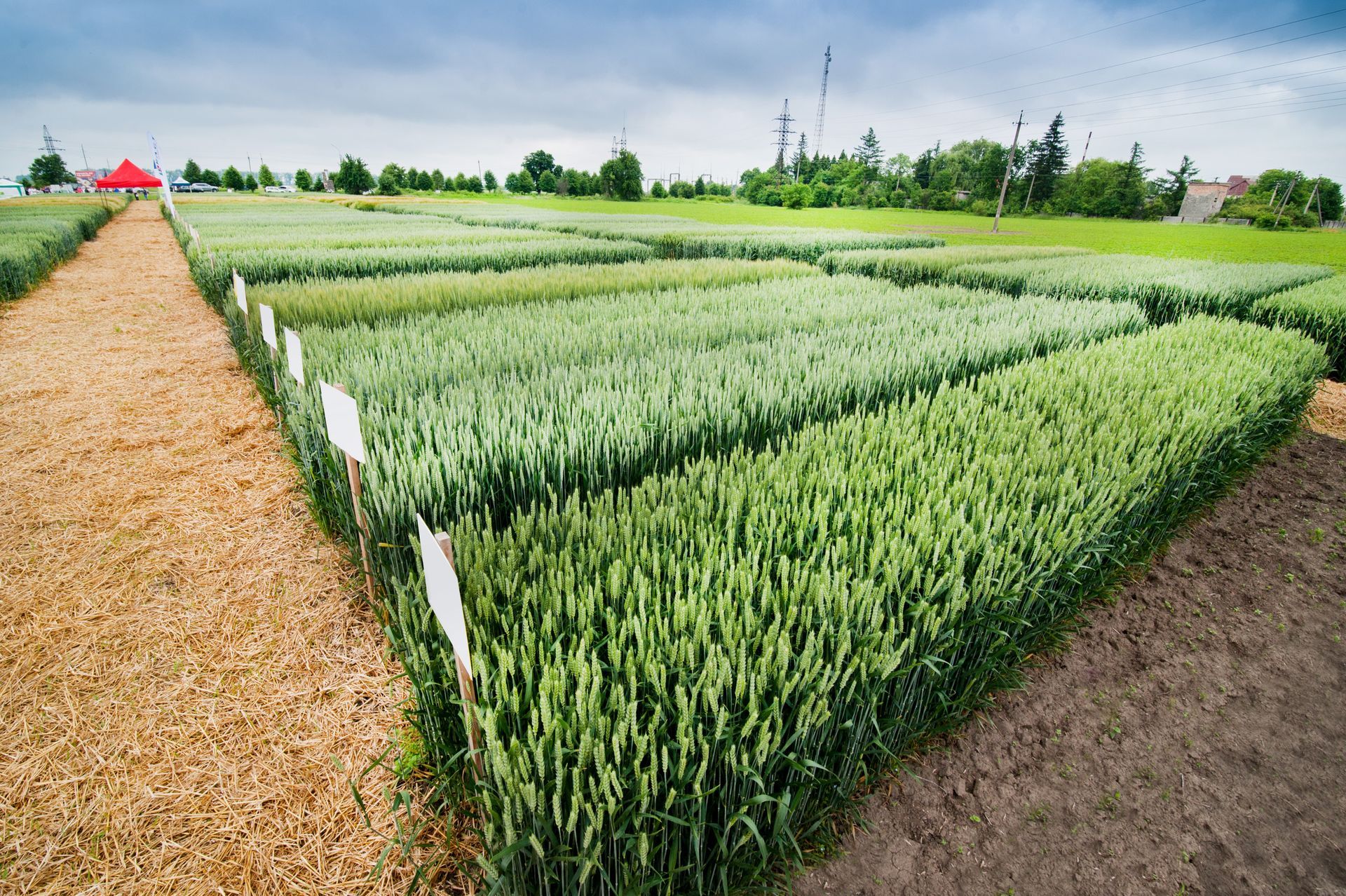
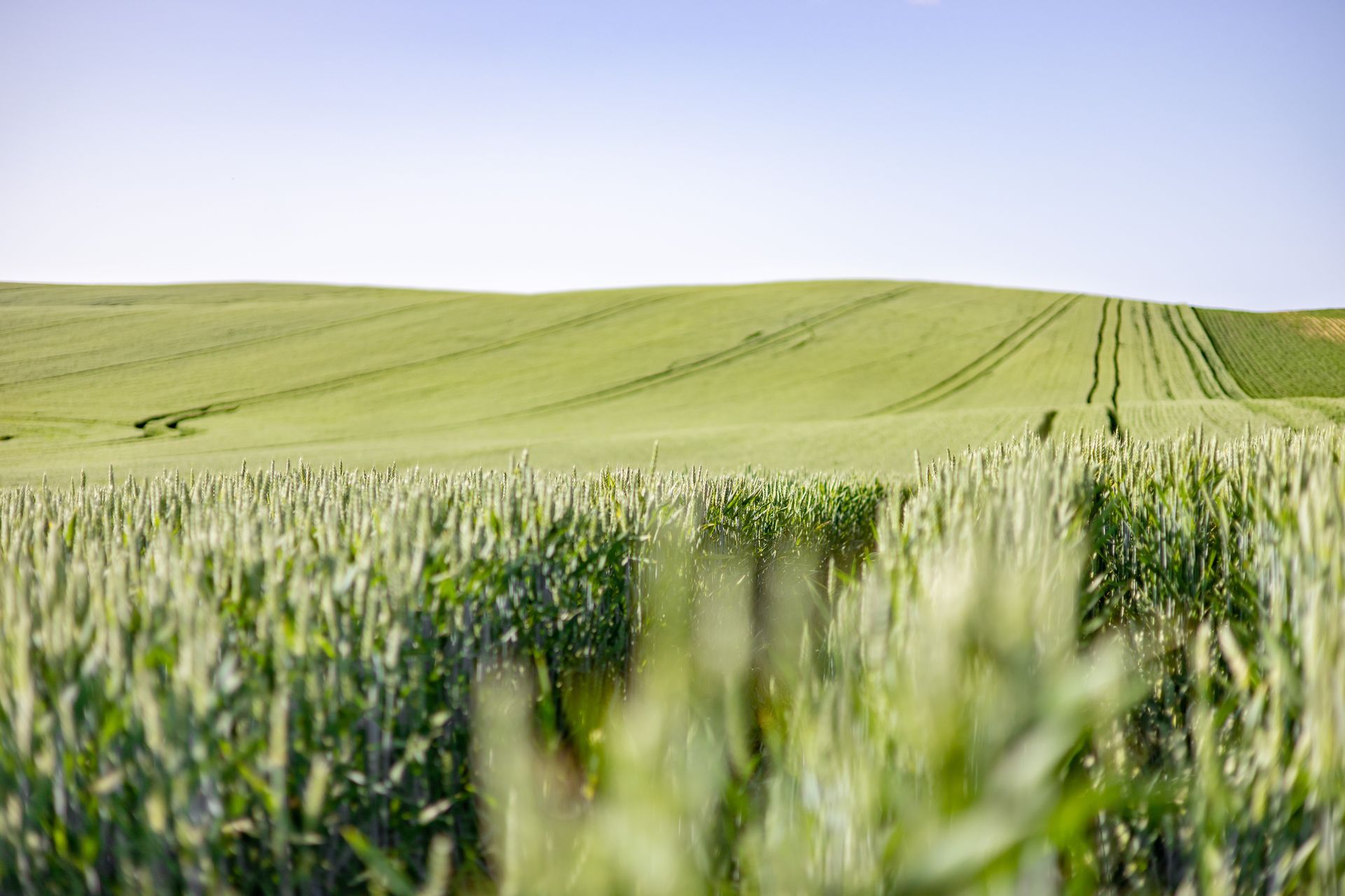
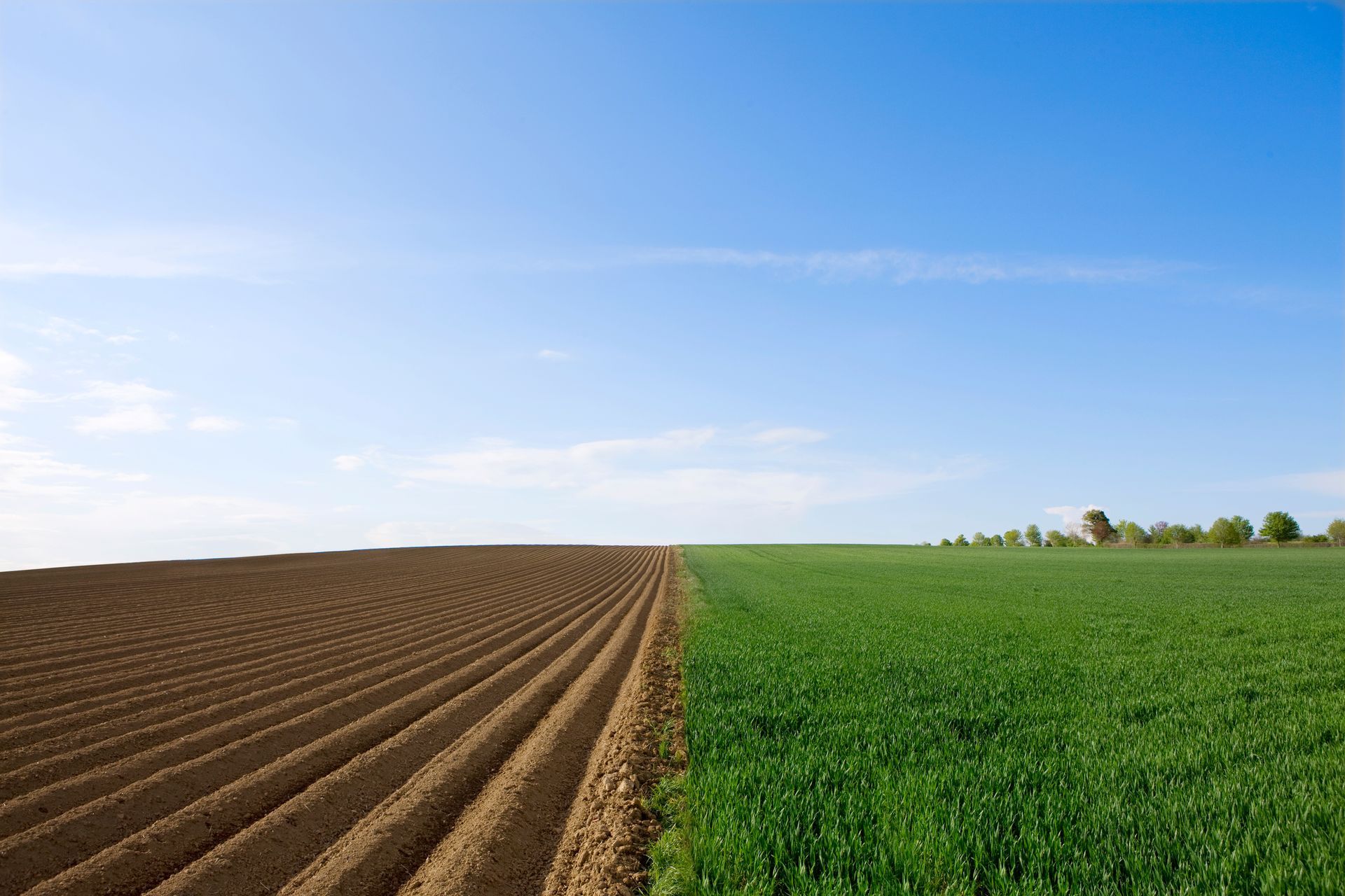
Before any effective drainage system can be designed, a detailed understanding of your field topography mapping is crucial. Traditional methods can be time-consuming and less precise. However, RTK topography mapping for agricultural drainage offers centimeter-level accuracy, giving farmers an incredibly detailed digital elevation model of their land. This precise data allows us to identify subtle changes in elevation, pinpoint depression pockets where water tends to collect, and accurately determine natural flow paths across your fields.
The Power of RTK Topography for Drainage
RTK topography for drainage provides real-time kinematic corrections to GPS data, ensuring unparalleled accuracy. This technology is a game-changer for several reasons:
- Optimal Drainage Tile Placement: With precise elevation data, Richland Micro Drainage can design and install drainage tiles exactly where they will be most effective. This means less wasted material and more efficient water removal from the root zone.
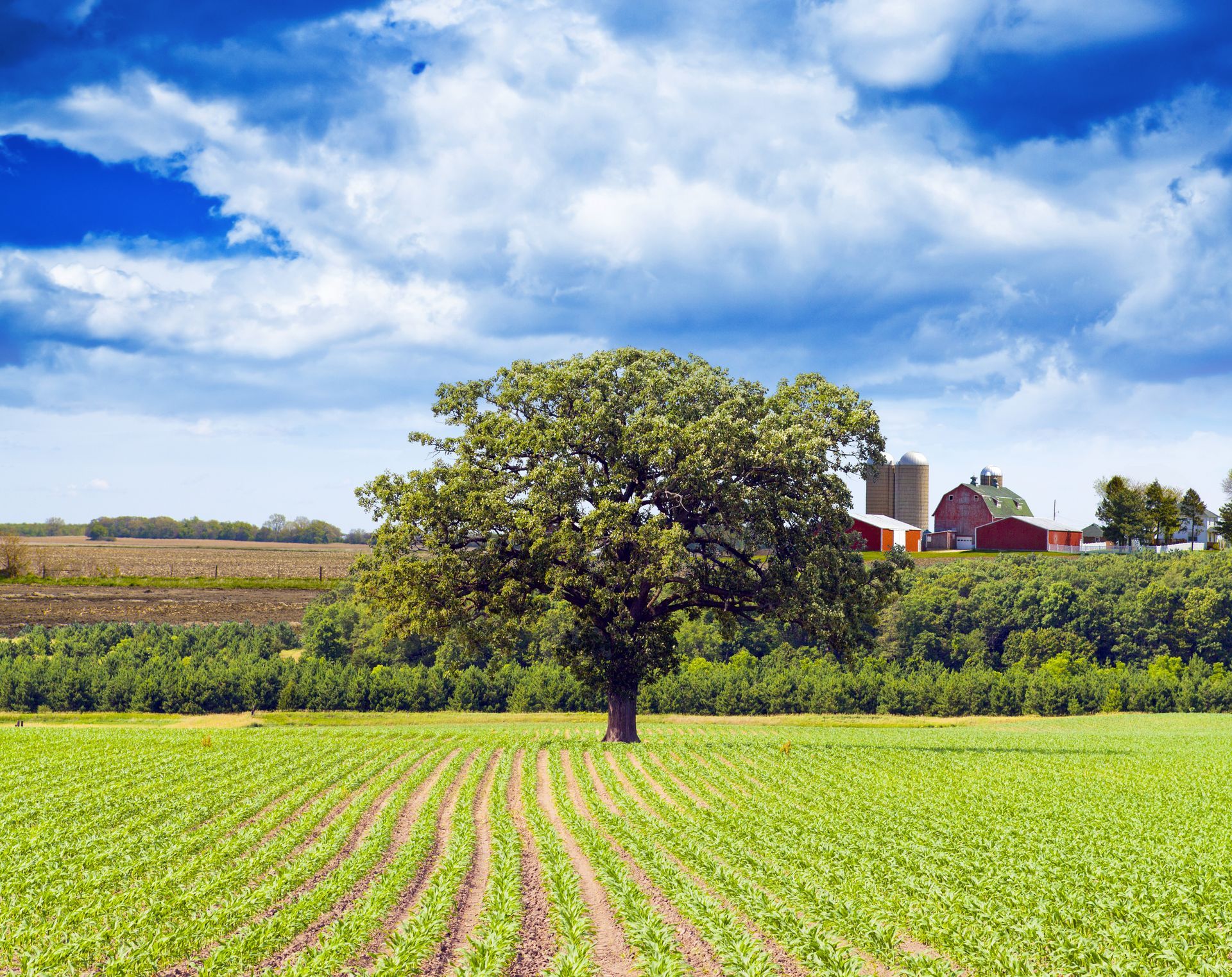
- Effective Field Leveling: For areas requiring surface drainage, RTK mapping guides field leveling efforts with incredible precision. This allows for the creation of a positive grade across the entire field, eliminating problematic ponding and ensuring water travels efficiently away from crops.
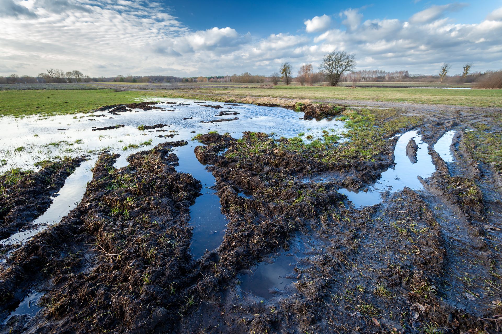
- Reduced Erosion: By understanding and controlling water flow precisely, RTK-guided solutions drastically reduce the risk of soil erosion, protecting your valuable topsoil and nutrients.
Richland Micro Drainage: Advanced Solutions for Water Infiltration
Richland Micro Drainage stays with you through every step of this process. We utilize RTK GPS data collectors to create highly accurate water models of your fields. This detailed information forms the foundation for designing both surface and subsurface drainage systems. Our approach ensures that every drainage tile is placed optimally based on the field's contours, leading to exceptional water infiltration and micro drainage success.
Our commitment to technological advancement means we offer:
- GCS:Pipe and RTK GPS integration: Controlling tile plows with market-leading precision for accurate tile installation.
- SD Drain Tiling Package: A comprehensive software and hardware solution for precise ditching or tiling.
- Ditch Assist: A standard kit for automated operation, ensuring consistent and efficient grading.
- Punisher GNSS receivers: Customized for rugged use and machine control, offering unbeatable precision.
- LaserTech Machine Control Systems: Providing visual grade information and automated control for various grading applications.
By integrating these advanced tools and expertise into our services, Richland Micro Drainage enables you to place drainage tiles exactly where they are most effective, based on the precise flow of your land.
Secure Your Harvest with Precision Topography
Investing in RTK topography mapping for agricultural drainage with Richland Micro Drainage means investing in the future productivity of your farm. We help you move beyond guesswork, providing data-driven field topography mapping that ensures optimal water infiltration and micro drainage success. Contact Richland Micro Drainage today to learn how RTK topography for drainage can transform your land and maximize your yields.